Workshops
MedGU-26 invites the submission of abstracts covering all cross-cutting themes of Earth and planetary sciences, with particular emphasis on the Conference Tracks.
In addition to the sessions dedicated to the main Conference Tracks and Special Sessions, MedGU-26 welcomes the organization of workshops addressing a broad range of themes in Earth, planetary, and environmental sciences. Particular emphasis is placed on topics related to Earth’s dynamic processes, Earth systems, Earth observation, resilience and sustainability, climate change, sustainable development, and other emerging scientific challenges contributing to a more science-driven and society-serving future.
The workshops are designed to provide participants with valuable opportunities for scientific exchange, methodological training, interdisciplinary discussion, and the exploration of innovative approaches, methodologies, and technologies in the geosciences and environmental sciences.
Researchers and experts interested in proposing a workshop are kindly invited to submit their proposals to contact@medgu.org by 30 June 2026.
To encourage active scientific engagement and community building, the lead convener of each approved workshop with 10 or more registered participants will benefit from a complimentary conference registration. Workshops reaching 20 or more registered participants will entitle the second convener to a complimentary conference registration.
Workshops
Workshop 1: Examples of AI-Driven Data Processing in Geosciences
Date
08 November 2027 (onsite and online)
15:00 — 19:00
About the Workshop
Artificial intelligence is increasingly reshaping how geoscientists process, interpret, visualize, and share data, yet many early-career researchers have limited exposure to what AI-driven workflows actually look like in practice. This workshop offers a hands-off, demonstration-based introduction to AI-driven data processing in geosciences, built around one running example that grows in sophistication throughout the session. We begin with a brief, non-technical introduction to AI and AI models, giving participants a shared conceptual baseline. We then show how an AI assistant (Claude) can be directed, through natural-language instructions, to produce and iteratively refine GMT (Generic Mapping Tools) plots — first a simple time-series (x-y) plot, then a map built up step by step from a plain base map to one including topography, GNSS sites, and GNSS networks — illustrating concretely how to "teach" an AI toward a desired geoscientific data product. The session then scales the example up, demonstrating a small private network of machines connected via Tailscale, and a Telegram bot that triggers processing and moves data across that network, sketching a path toward fuller automation.
The workshop is aimed primarily at early-career researchers and PhD students, though anyone interested in seeing how AI is implemented in practice is welcome to attend, and is designed for a small group of 10-20 participants. Participants can be of any background, not only geodesy. All demonstrations are presenter-led — participants are not required to install any software, hold any paid subscriptions, or bring specific hardware, so the session remains accessible regardless of participants' technical background or setup. The proposed format is a 2-hour session.
Convener
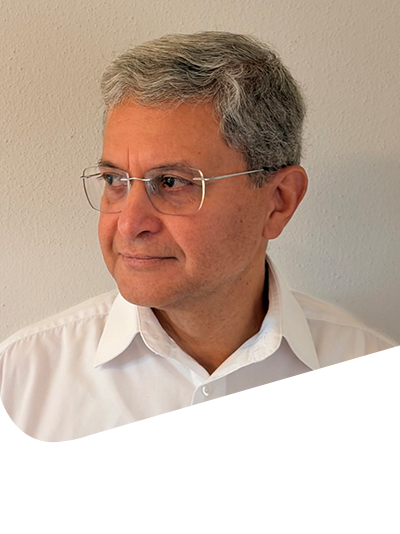
Amir M. Abolghasem
Ludwig-Maximilians University, Germany
Amir M. Abolghasem is a geodesist at the Chair of Geology, Department of Earth and Environmental Sciences, Ludwig-Maximilians-Universität München (LMU Munich), Germany. He received his PhD in Geodesy from the University of Stuttgart in 2000. His research focuses on GNSS data processing, geodetic reference frames, and crustal deformation, with a particular interest in deriving reliable velocity fields from GNSS observations to study tectonic processes. In recent work, he has been exploring how AI assistants can support and automate geoscientific data processing workflows, from generating publication-quality maps with GMT to building automated data pipelines across networked computers. At MedGU-26, he convenes the workshop "Examples of AI-Driven Data Processing in Geosciences", aimed at early-career researchers and anyone curious about applying AI in practice.